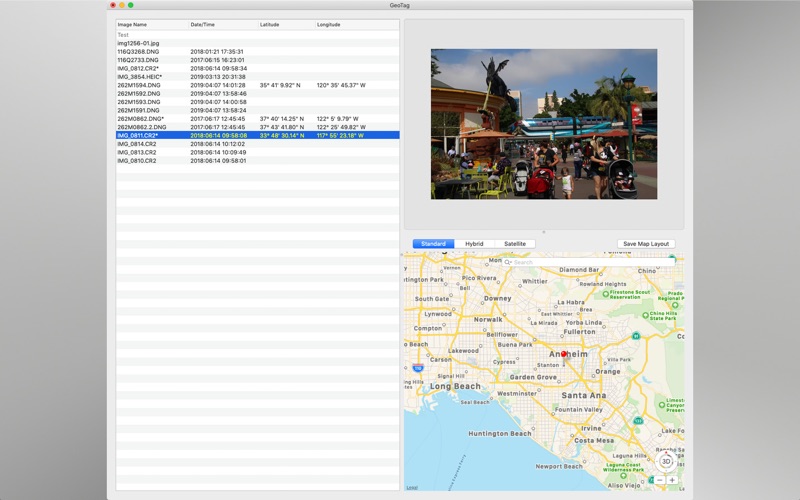


GeoTag is a free macOS application that allows you to update image metadata with geolocation tags by panning and zooming in a map window and then clicking on the location where a photo was taken. It is a good way to add location information to photos or fine tune existing location information.
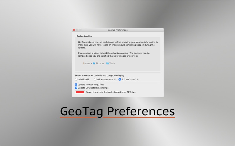
Image file updates are performed using Phil Harvey’s ExifTool. This allows geolocation data to be modified an unlimited number of times with no image degradation as ExifTool modifies metadata without changing the image data.
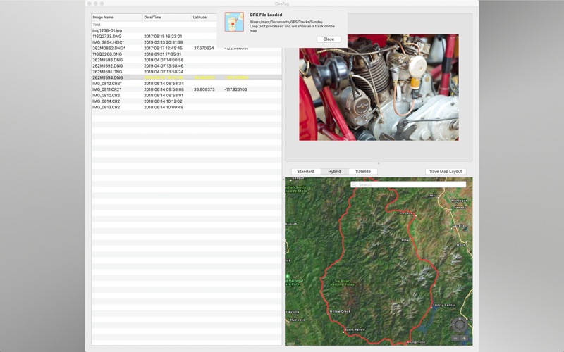
GeoTag can also import GPX track logs and set image location set by matching the timestamp of the image to timestamps in the track log.